
What Is Contour Grading?
Contour Grading is a land-shaping method that follows the natural form of a site. It creates smooth changes in elevation along planned contour lines, which guide water across or around the landscape. Designers use this method to coordinate soil levels, slopes, planting areas, paths, and drainage features within one grading plan.
Quick Facts About Contour Grading
Category
Site grading method
Used for
Slopes, drainage, and landscape layout
Common confusion
It does not make every area level
Also called
Landform Grading
Often discussed with
Landscape Grading Design
Key Takeaways About Contour Grading
- It follows planned elevation lines across the site.
- Slopes direct water toward approved drainage areas.
- It isn’t the same as leveling all ground flat.
How Contour Grading Works
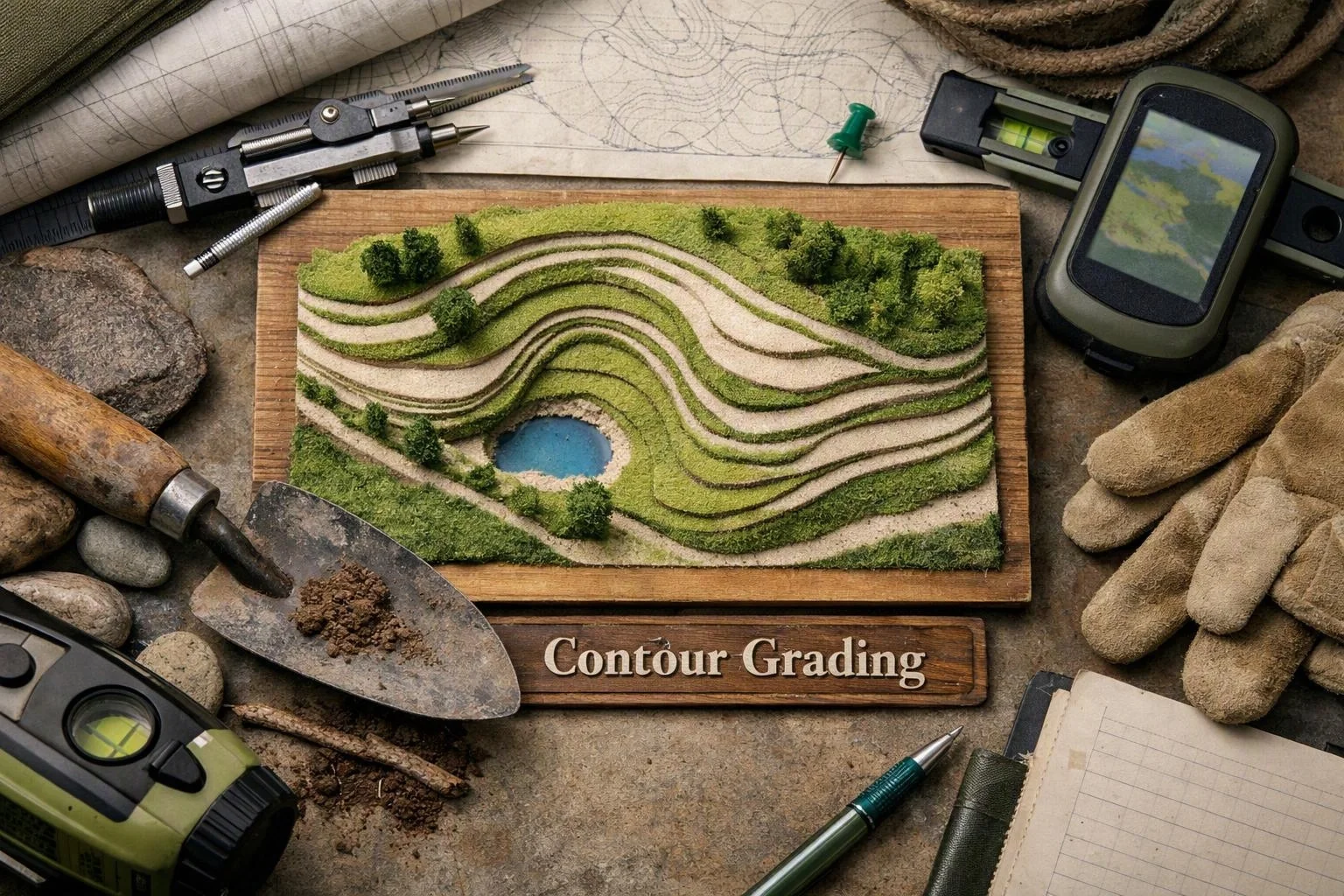
Contour Grading begins with elevation points that show how high or low each part of a site should be. Lines connect areas with matching elevations, so the plan shows the shape of the finished ground. The design team then adjusts soil levels to form steady slopes and transitions.
Related glossary terms: Grading Plan, Runoff Coefficient, Soil Compaction.
Water follows gravity across the finished surface. A grading plan shows where water should move, slow, collect, or leave the site. The plan also coordinates grades around patios, walkways, planting beds, lawns, and drainage structures. Smooth contours help avoid abrupt changes that can create ponding or difficult walking surfaces.
Example in Landscape Design
A backyard may slope toward a home after construction. A contour grading design can reshape the yard so surface water moves away from the foundation and toward a planned drainage area. The design can also set usable grades for a lawn and connect them to a patio.
Expert Note
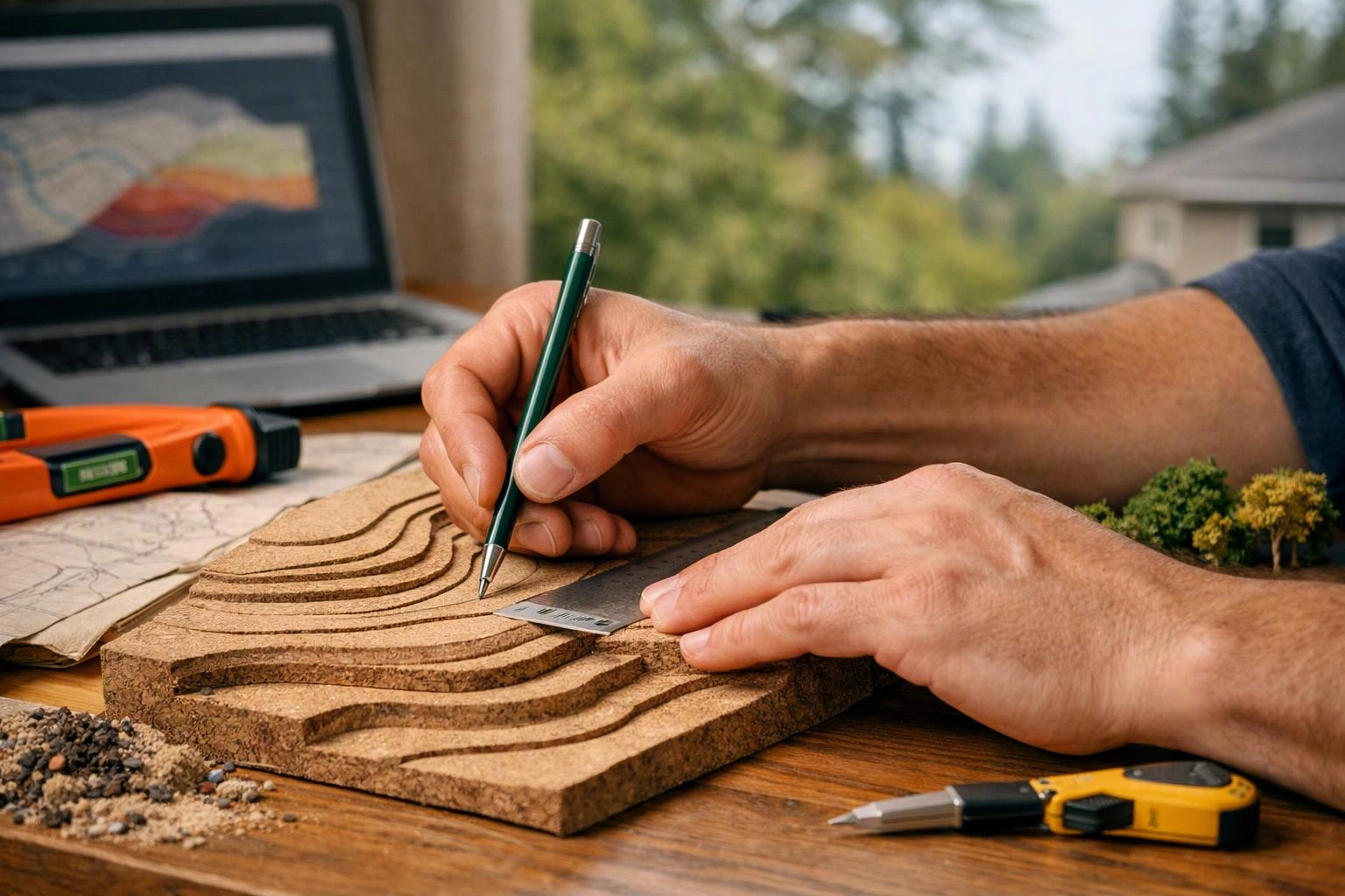
When we develop Landscape Grading Design plans, we review existing elevations, proposed features, and the direction of surface water. We coordinate finished grades around structures, walkways, planting areas, and drainage points. Our team also checks that transitions connect cleanly instead of creating sudden drops or low pockets.
Contour Grading in Practice: A Real-World Example
For a Bellevue backyard that slopes toward a house, contour grading can create a gentle surface that directs runoff away from the foundation. The plan can also shape a level lawn area and connect it to a patio without abrupt grade changes.
Related Services
Related Terms
Grading Plan
A Grading Plan is a site drawing that shows how land will be shaped to guide…
Runoff Coefficient
A runoff coefficient is a value that shows how much rainfall may flow across a surface…
Soil Compaction
Soil Compaction is the pressing of soil particles close together, which reduces open spaces for air…
Subgrade
Subgrade is the prepared soil surface beneath a patio base and its finished paving materials. Crews…
LandscaperBellevuewa.com
Have Questions About Contour Grading?
Contact LandscaperBellevuewa.com for practical guidance on Contour Grading and related landscape architect company work in Bellevue.