
What Is a Grading Plan?
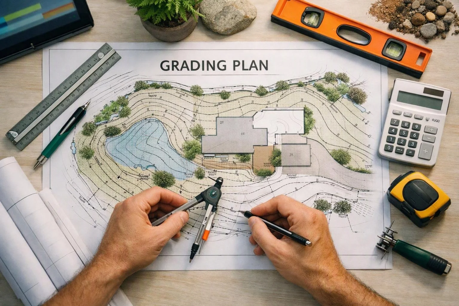
A Grading Plan is a site drawing that shows how land will be shaped to guide water and support planned landscape features. The plan maps existing and proposed ground levels, slope direction, drainage paths, and key edges. Designers use it to coordinate soil work, patios, walls, planting areas, and other site elements.
Quick Facts About Grading Plan
Category
Landscape design drawing
Used for
Shaping land and directing runoff
Common confusion
It is not the same as a planting plan
Also called
Site Grading Plan
Often discussed with
Landscape Grading Design
Key Takeaways About Grading Plan
- The plan shows proposed ground levels and slope direction.
- It guides soil work around patios, walls, paths, and planting areas.
- A grading plan is not a planting plan or drainage pipe layout.
How Grading Plan Works

A Grading Plan compares the site's current shape with the planned shape. Lines, spot levels, arrows, and labeled features show how the ground should rise, fall, or meet a hard surface.
Related glossary terms: Contour Grading, Runoff Coefficient, Subgrade.
The plan helps crews place soil and shape slopes around the project. It also shows how surface water should move toward an approved drainage area. A contour grading approach uses curved lines to show equal ground levels. A stormwater inlet may appear where runoff needs a controlled entry point.
Designers coordinate the plan with patios, walkways, retaining walls, steps, and planting beds. Field conditions can change during construction, so the finished ground should match the planned flow and connections.
Expert Note
When we prepare a grading plan, we review the site's slopes, planned surfaces, and drainage paths together. We check that proposed elevations connect smoothly at patios, walkways, walls, and planting areas. Our team also looks for places where surface water could collect near structures or finished landscape features.
Grading Plan in Practice: A Real-World Example
For a Bellevue backyard with a sloped lawn and a new patio, a grading plan can show how soil levels will change around the patio edge. The plan can also direct runoff toward a suitable drainage feature without sending water toward the house.
Related Services
Related Terms
Contour Grading
Contour Grading is a land-shaping method that follows the natural form of a site. It creates…
Runoff Coefficient
A runoff coefficient is a value that shows how much rainfall may flow across a surface…
Subgrade
Subgrade is the prepared soil surface beneath a patio base and its finished paving materials. Crews…
Stormwater Inlet
A stormwater inlet is a ground-level opening that collects rainwater runoff and directs it into a…
LandscaperBellevuewa.com
Have Questions About Grading Plan?
Contact LandscaperBellevuewa.com for practical guidance on Grading Plan and related landscape architect company work in Bellevue.