How Landscape Architects Use Plans, 3D Models, and Site Data
Landscape architects use plans, 3D models, and site data to understand terrain, test design choices, coordinate planting and grading, and support permit decisions. LandscaperBellevuewa.com uses these tools to connect master planning with buildable landscape plans.
Written by Adam Gorski · 29 years of local experience
Request an EstimateAuthor: Adam Gorski
Our team uses a digital design workflow to connect site analysis with clear construction documents. Each drawing or model should help answer a practical question about the property.
What Do Landscape Architects Use Plans, 3D Models, and Site Data For?
Landscape architects use plans to document the design, 3D models to test space and form, and site data to guide practical decisions.
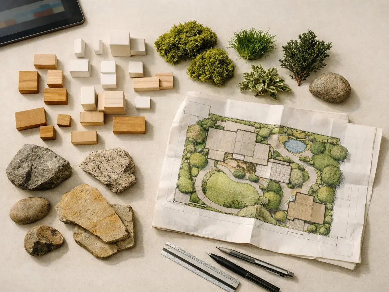
A landscape plan shows the proposed layout from above. It can document property lines, hardscape elements, planting areas, drainage arrows, and construction notes.
A 3D landscape model helps our team study height, volume, views, and movement. Site data adds facts about existing conditions, elevation, utilities, soil, and drainage.
Together, these tools support landscape master planning and permit plans. They also give clients a clearer way to review spatial relationships before construction begins.
Which Landscape Design Software and Tools Support Each Task?
Landscape design software supports different tasks, so the right tool depends on whether the work involves drafting, terrain, planting, visualization, or site analysis.
Our team may move information between tools as the design develops. That process keeps survey data, drawings, models, and schedules aligned.
| Tool | Main task | Useful output |
|---|---|---|
| CAD software | Precise drafting | Plans, dimensions, labels, and construction documents |
| 3D modeling software | Space and form testing | Digital landscape models and views |
| GIS | Layered site analysis | Maps for boundaries, land features, and site conditions |
| Survey data | Existing condition documentation | Property lines, elevation points, and site features |
| Grading software | Terrain and water-flow review | Grading surfaces, slopes, and drainage paths |
| Planting design software | Plant selection and layout | Planting plans, symbols, and plant schedules |
| Rendering tools | Visual review | Images that show materials, planting, and views |
How Do Landscape Architects Model Slopes and Terrain?
Landscape architects model slopes and terrain by turning survey points and elevation data into a digital surface that reveals high points, low points, slopes, and drainage paths.
A topographic survey records the shape of the land. Our team uses contour lines and elevation points to understand how the ground changes across the site.
A digital terrain model connects that information into a usable surface. We can then study slope analysis, drainage patterns, access, and grading design.
The model also helps us test how proposed paths, walls, patios, and planting areas meet the existing terrain. That review supports a safer and more buildable plan.
What Information Is Needed to Create a Landscape Plan?
A landscape plan needs reliable site information, design goals, existing conditions, and project requirements.

Our team organizes the available information before developing the concept plan. Missing or conflicting data can affect layout, grading, drainage, and permit review.
How Do Plans and Models Support Grading, Planting, and Permits?
Plans and models connect grading, planting, and permit details so the proposed landscape works as one coordinated design.
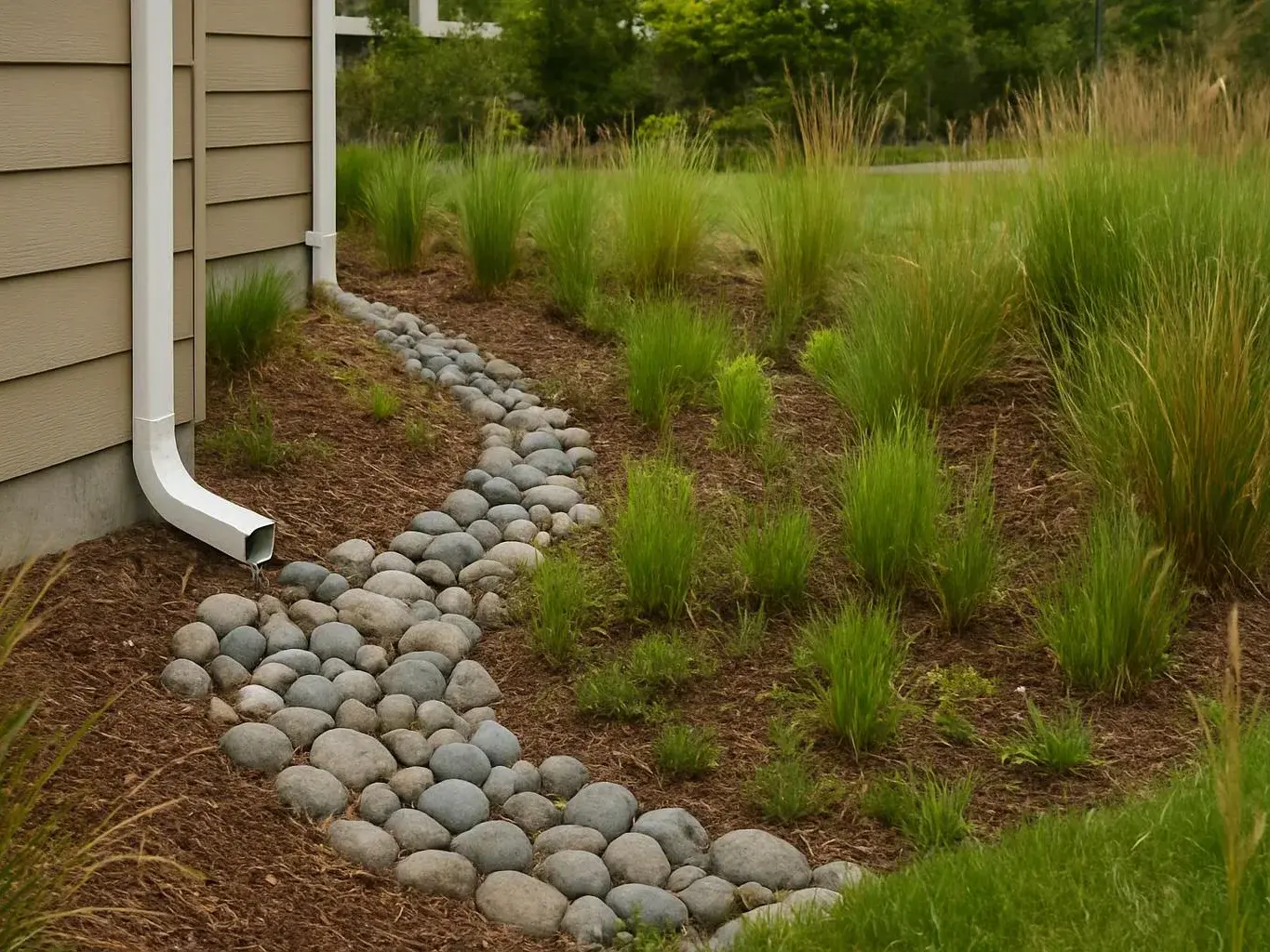
Our landscape master planning process helps organize the full site before individual details are finalized. The grading plan shows proposed ground changes, while the drainage plan explains how water should move.
The planting design places trees, shrubs, and groundcovers in relation to paths, structures, utilities, and grading. A plant schedule adds names, quantities, sizes, and installation notes when the project requires that level of documentation.
Landscape permit plans bring the required drawings and notes together for review. Our team checks site coordination so the permit set, planting plan, grading plan, and construction documents support the same design intent.
When Is a 3D Landscape Model More Useful Than a 2D Plan?
A 3D landscape model is more useful when height, volume, visibility, or movement through the space matters.
A 2D plan gives accurate information about layout and spacing. It works well for property lines, planting layout, hardscape locations, and dimensions.
A 3D model adds spatial understanding. Our team uses it to study wall height, tree form, overhead structures, views, and how spaces connect.
3D visualization is especially helpful during design review. It lets clients see design choices from several viewpoints before the plan moves into detailed documentation.
How We Turn Site Data Into a Usable Landscape Design
Our team turns raw site data into a usable landscape design through a connected review and documentation process.
What Should You Review Before Approving a Landscape Plan?
Review the layout, grading intent, planting choices, drainage direction, materials, and permit details before approving the plan.
Our team recommends checking how each part supports the way you want to use the property. A clear review can catch conflicts before construction documents are finalized.
Look at the site layout, path connections, planting placement, and hardscape edges. Then review grading intent, drainage direction, materials, maintenance needs, and permit documentation.
Ask our team to explain any symbol, note, elevation, or model view that feels unclear. The final plan should show what is proposed and how the parts work together.
Questions About Landscape Plans, Models, and Site Data
What is the difference between CAD and 3D landscape design software?
CAD software focuses on precise drawings, dimensions, labels, and plan documentation. 3D landscape design software focuses on form, height, views, and spatial understanding.
Can landscape design software use survey and elevation data?
Yes, landscape design software can use survey and elevation data when the files are prepared in a compatible format. The information can support contours, terrain models, slope review, grading, and drainage analysis.
How do site plans show drainage and grading?
Site plans show drainage and grading with contour lines, elevation labels, slope information, drainage arrows, and proposed surface changes. The exact items depend on the design and permit requirements.
What does a landscape architect check in a 3D model?
A landscape architect checks scale, height, views, circulation, spatial relationships, grading, planting volume, and how proposed elements meet existing conditions.
Can a landscape plan show existing trees and proposed planting?
Yes, a landscape plan can show existing trees and proposed planting when that information is included in the site data and project scope. Symbols, labels, and a plant schedule help distinguish existing conditions from new work.